OLNE (BE) - 2012-01-19 14:04:22
- Magnitude 2.0
Last update : 2012-04-27 16:39:30 Belgian time
Main parameters
| Date and time |
2012-01-19 14:04:22 UTC
2012-01-19 15:04:22 Belgian time |
| Type | Known mine explosion |
| Magnitude | ML 2.0 |
| Region | OLNE (BE) |
| Epicentral coordinates | 50.603° N, 5.721° E Uncertainty ± 1.2 km |
| Depth of hypocenter | 1.9 ± 3.8 km |
Data source : ROB (Royal Observatory of Belgium)
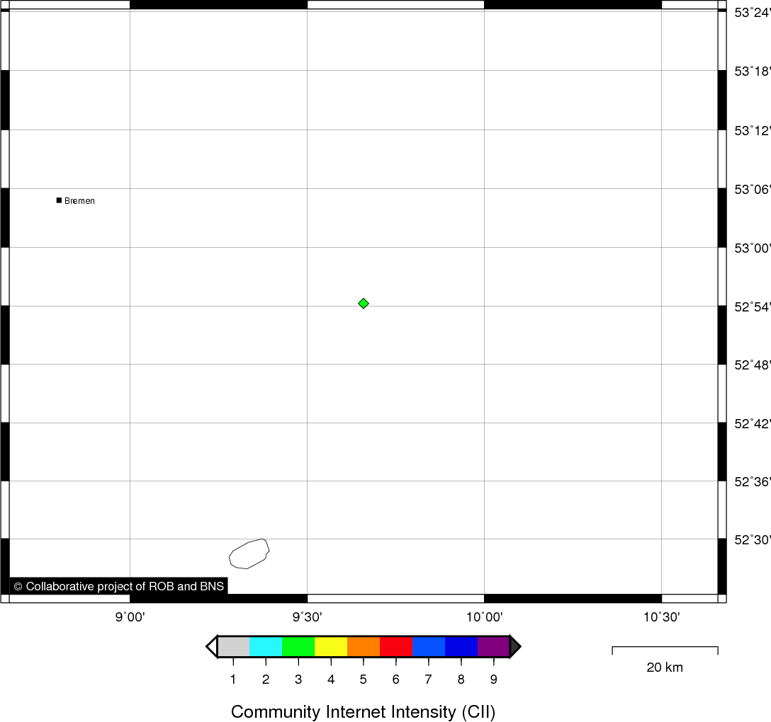
Location map
Quake measurements
Measurements by the Belgian seismic network
| Station | Epicentral distance (km) |
P-Wave arrival (hh:mm:ss.ss) | S-Wave arrival (hh:mm:ss.ss) | Maximal ground displacement (nm) |
|
|---|---|---|---|---|---|
| Code | Place | ||||
| LCH | LA CHARTREUSE | 10 | 14:04:23.66 | 14:04:25.58 | 544.9 |
| STI | SART TILMAN | 11 | 14:04:23.76 | 14:04:25.16 | - |
| MEMH | MEMBACH | 20 | 14:04:25.72 | - | - |
| MEMS | MEMBACH | 20 | 14:04:25.77 | 14:04:28.80 | 108.3 |
| EBN | EBEN-EMAEL | 22 | 14:04:26.34 | - | - |
| CLA | CLAVIER | 36 | 14:04:28.28 | 14:04:33.33 | 39.7 |
| GES | GESVES | 51 | 14:04:30.95 | 14:04:37.64 | - |
| RCH | ROCHEFORT | 61 | 14:04:32.76 | - | - |
| DOU | DOURBES | 98 | 14:04:39.06 | 14:04:54.98 | - |
| KLB | KALBORN | 62 | - | 14:04:40.41 | - |
| SKQ | STEENKERQUE | 116 | 14:04:43.21 | - | - |
Macroseismic
Data
| Total number of responses | 1 |
|---|---|
| Intensity III | 1 |
Attention! The intensities derived from the macroseismic enquiry are raw unverified data.
Map
Data policy
Please read on this notice to learn more about our data policy.